Adams County, Ohio History
Adams County's Boundaries
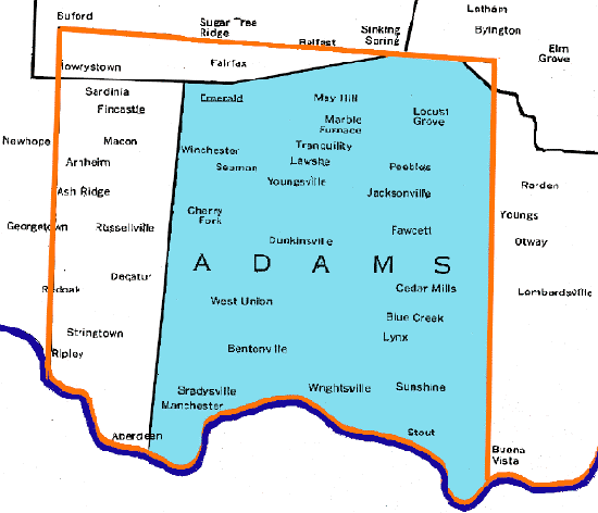
Adams County: May 1, 1803
Immediately on the heels of statehood, Scioto County Ohio was formed from the eastern territory of Adams County, 01 May 1803. With the loss of 760 square miles, Adams County retained 840 square miles within its borders.
Ebenezer Zane laid out a road (known as Zane's Trace) from Wheeling, Virginia (WV), through Ohio, to Limestone (now called Maysville), Kentucky. Zane's Trace opened in 1797, and towns along the route included (southwest to northeast) West Union and Peebles (Adams Co), Sinking Spring (Highland Co), Chillicothe (Ross Co), Tarleton (Pickaway Co), Lancaster (Fairfield Co), Zanesville (Muskingum Co), Cambridge (Guernsey Co), St. Clairsville (Belmont Co), and Wheeling (Ohio Co) WV. Zane's Trace provided the best means of overland travel through southern and eastern Ohio until the advent of the railway system.